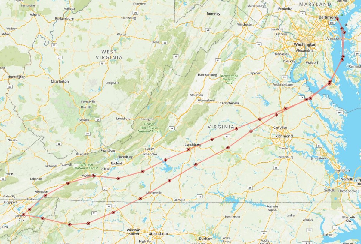
December 17, 2021 - Return from Johnson City, TN
|
| I had a nice visit with my Mom. I left this Friday afternoon. Unfortunately, the weather was not nearly as nice as it was when I flew down. The problem was low ceilings, which normally would not be an issue in the flatlands I fly in, but Mohnson City is surrounded by mountains. In the morning, the forecast looked like I could get through my normal route towards Frederick, through the mountain valleys: Mountain Empire Airport, Blacksburg and Roanoke. The weather was clear after Roanoke. But when I checked just before leaving for the airport, that way was now IMC. Things looked OK on the east side of the mountain range, if I could just get over there. I thought I should be able to get through via the Watauga River pass due east of Johnson City. The overcast wasn't that low: 1,500 to 2,000 above ground level. |
| |
 |
|
|
I took off and headed due east, passing Elizabethton on my left.
|
| |
 |
|
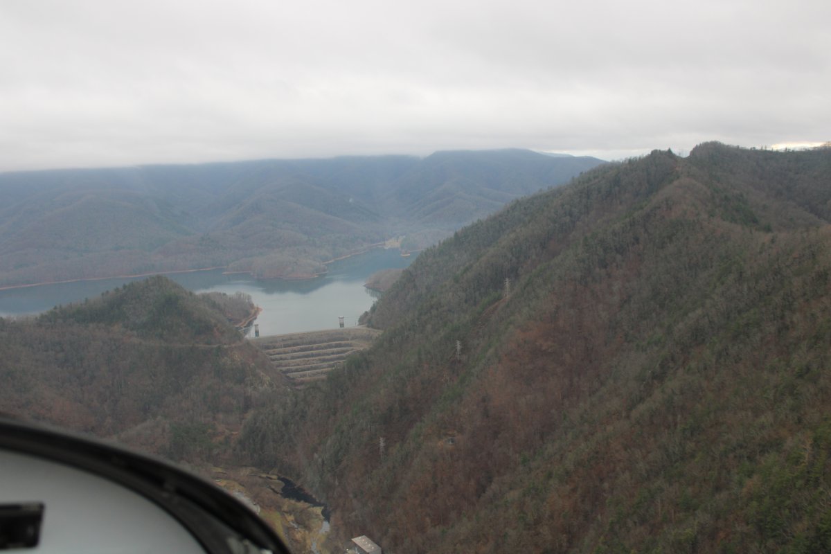
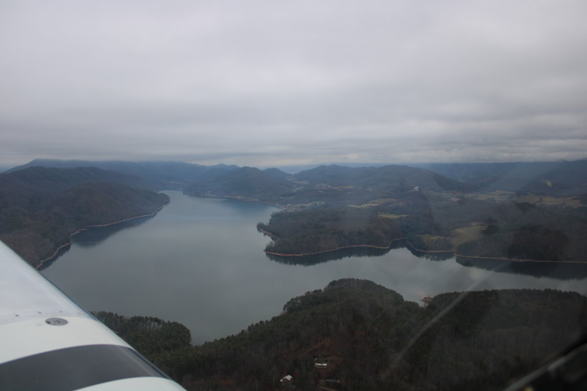
| After Elizabethton, I came to the Wautauga Dam and big Watauga Lake. |
| |
 |
|
|
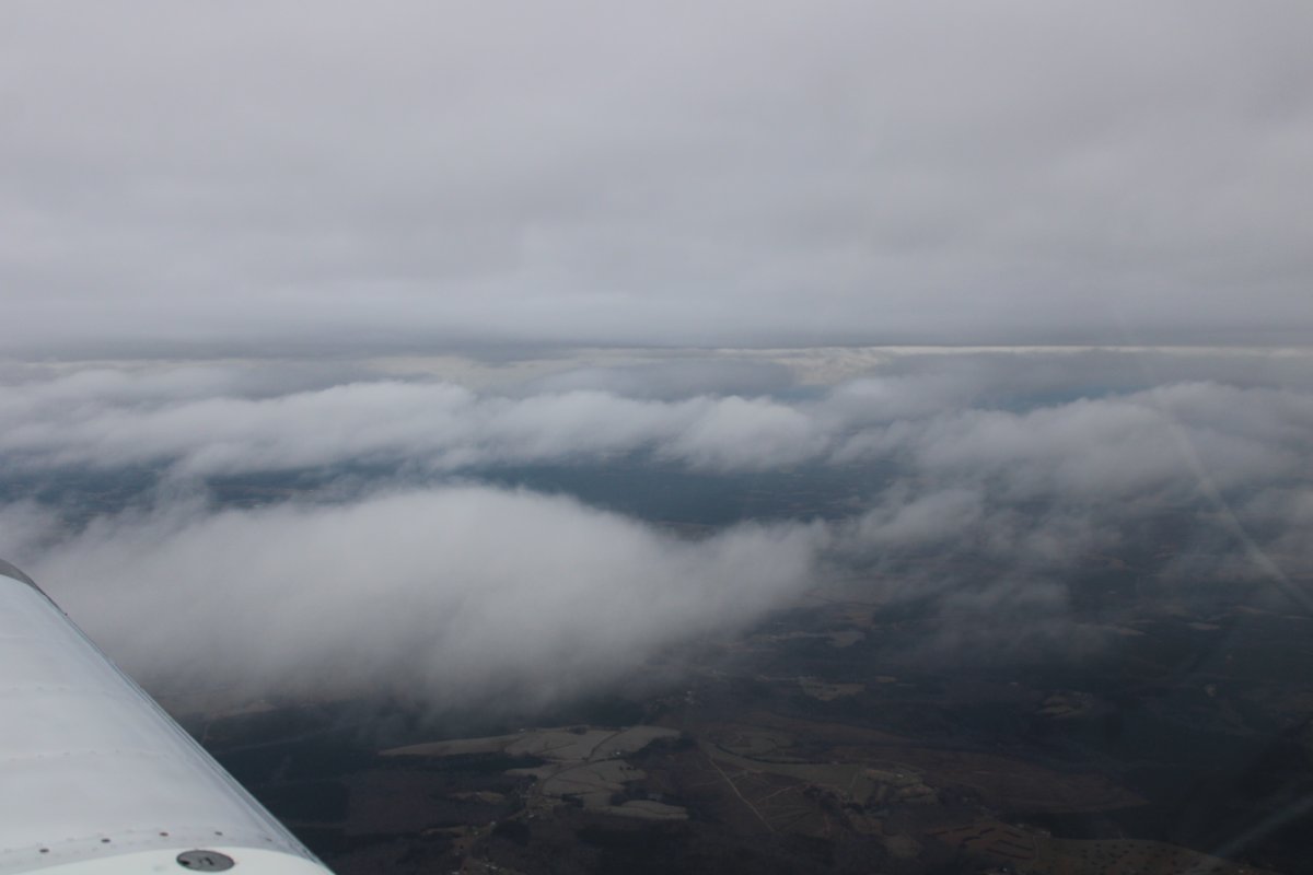
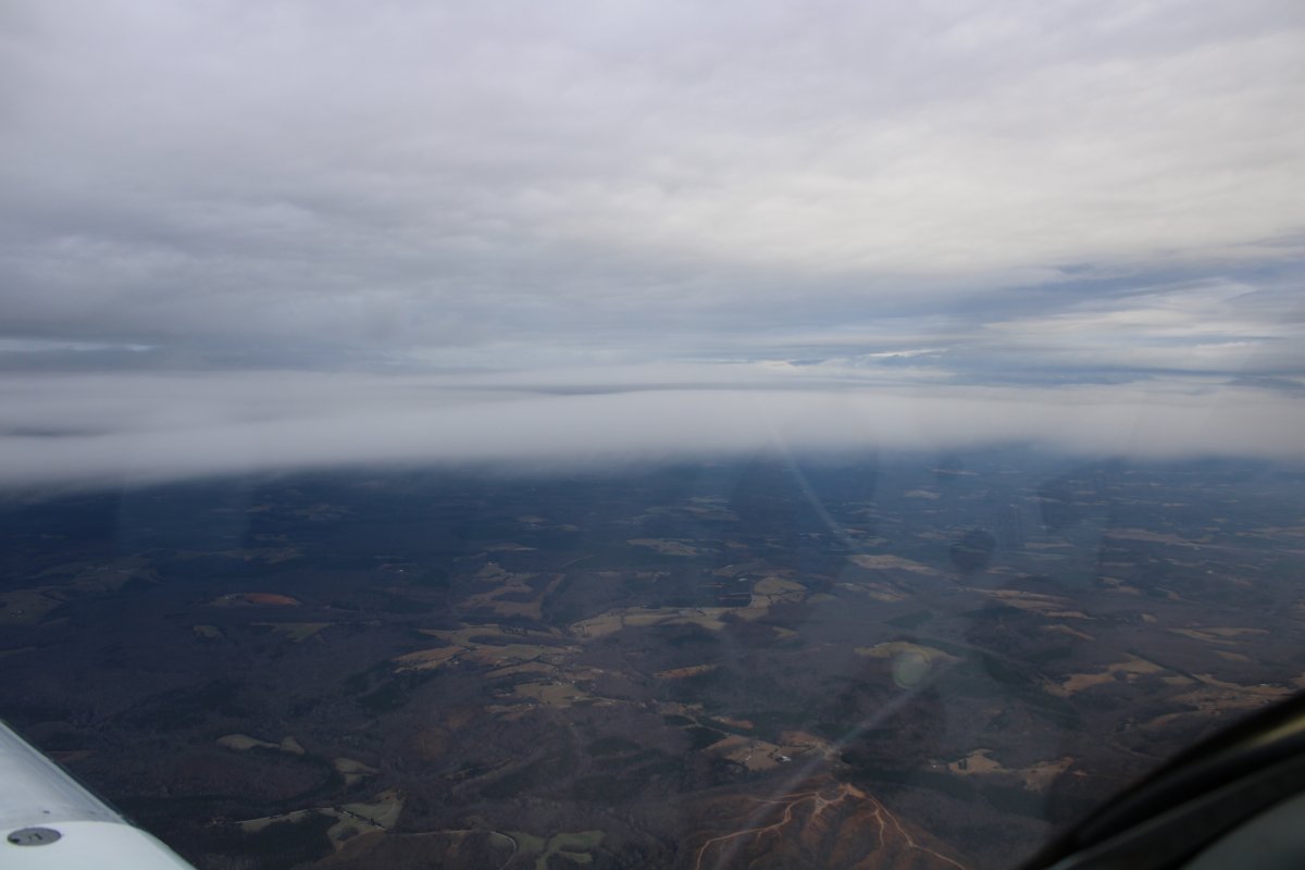
The ceiling is touching the top of the mountains in some areas but not in others.
|
| |
 |
|
| The ceiling looks higher to the south. |
| |
 |
|
| The ceiling looks worse to the north. |
| |
 |
|
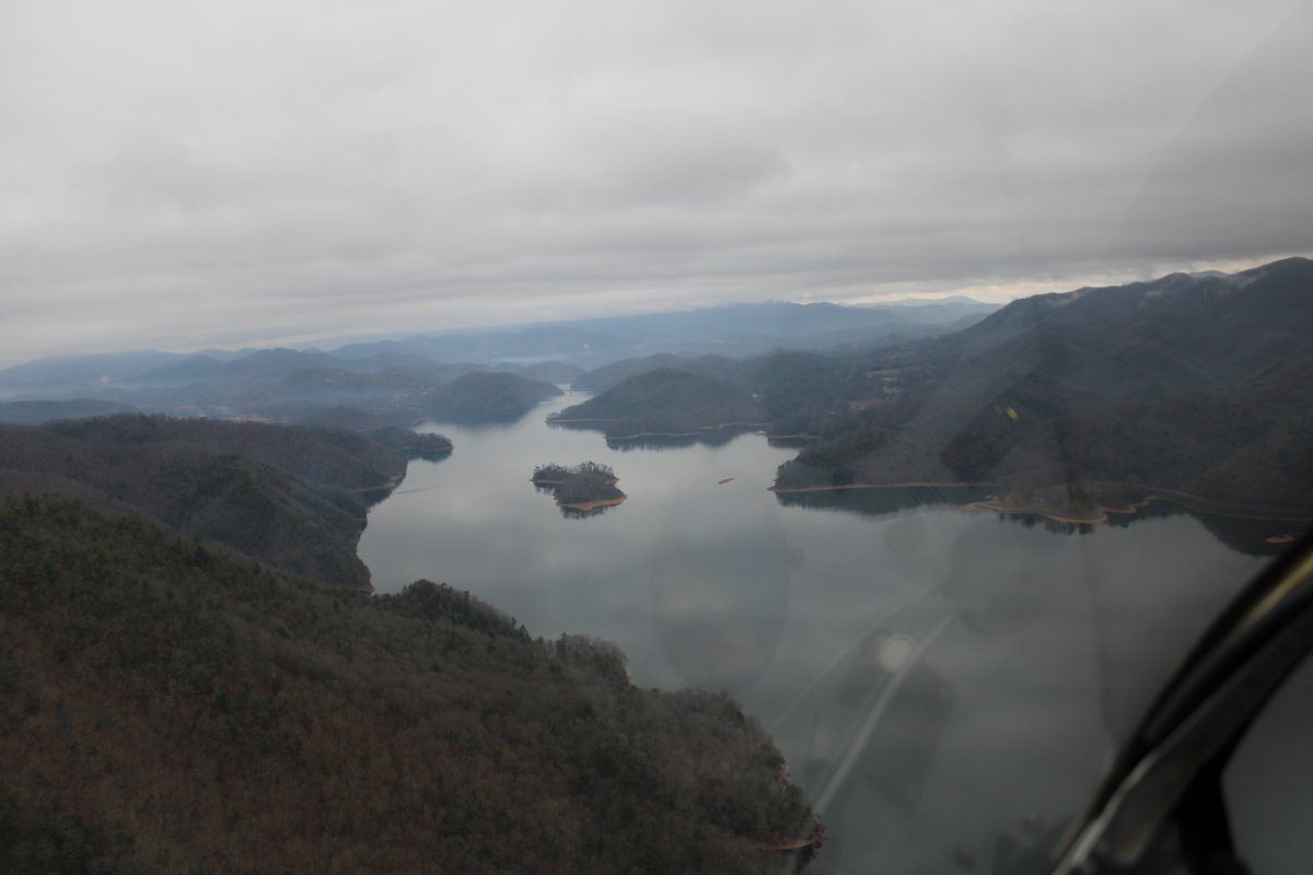
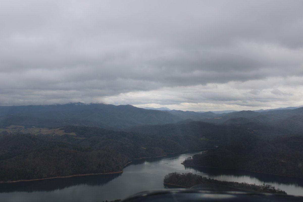
| But as the Wautauga Lake turns into the Wautaga River, things look good for my easterly course. |
| |
 |
|
|
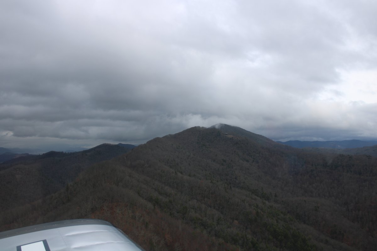
A mountain peak just touches the clouds to the north.
|
| |
 |
|
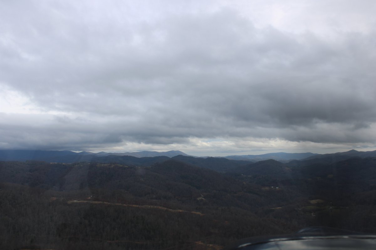
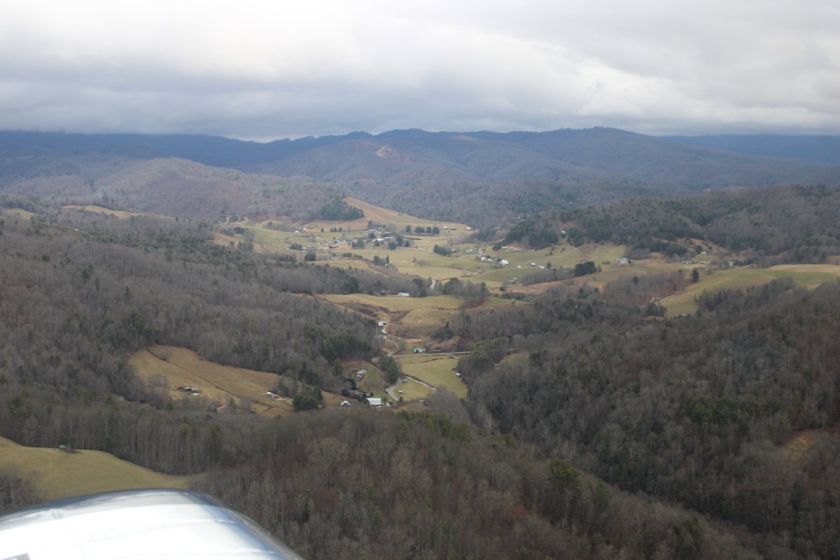
| Things still looking good to the east. |
| |
 |
|
|
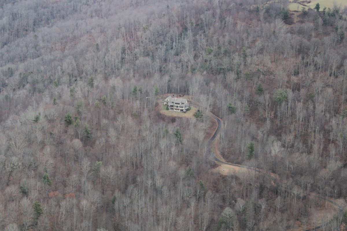
A big house on the side of a mountain sits all by itself.
|
| |
 |
|
| Things are getting brighter. |
| |
 |
|
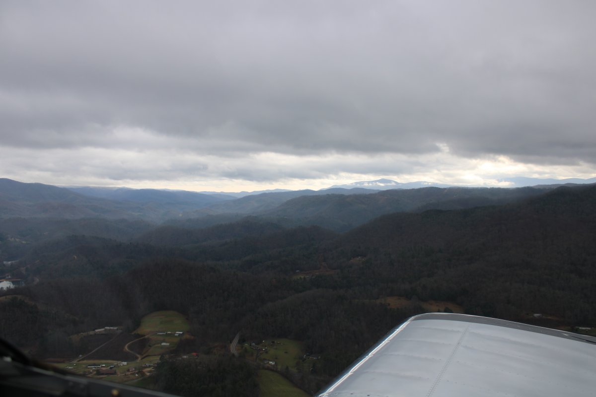
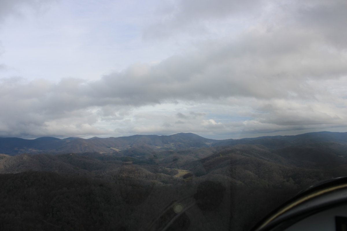
| The ceiling overhead is starting to break up. I'll be out of the mountains once I cross that ridge up ahead. |
| |
 |
|
| |
| |
 |
|
|
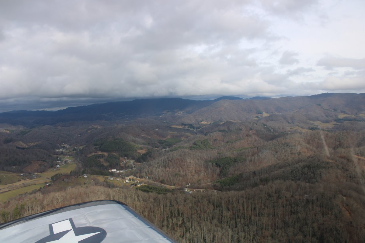
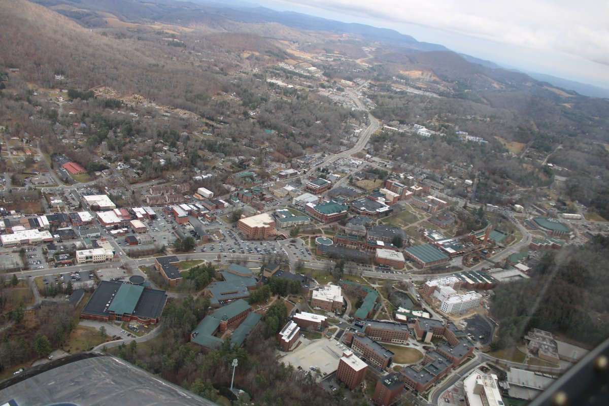
Passing by the good-sized town of Boone, North Carolina; home of Appalachian State University (who knew?).
|
| |
 |
|
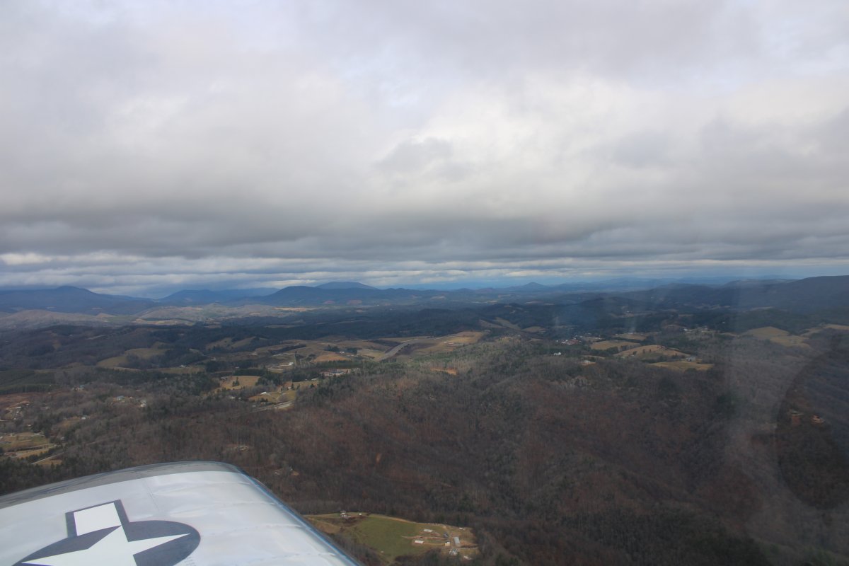
| Still heading east, I'm out of the mountains but it's not what I would call flatlands yet. |
| |
 |
|
|
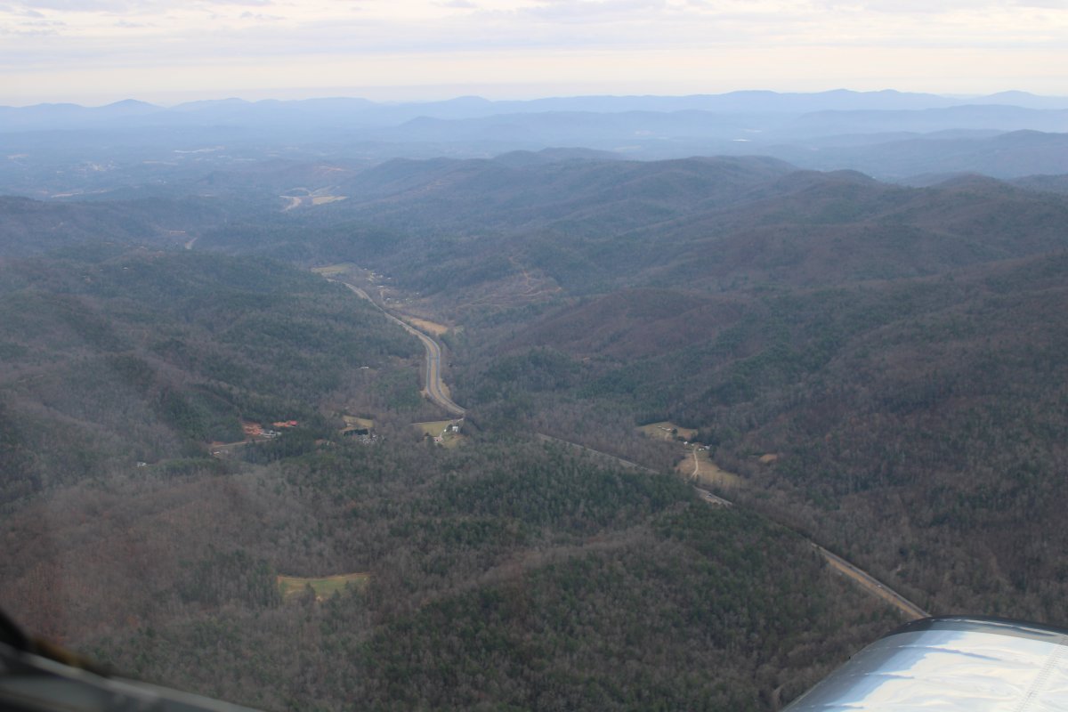
Following highway 421 east.
|
| |
 |
|
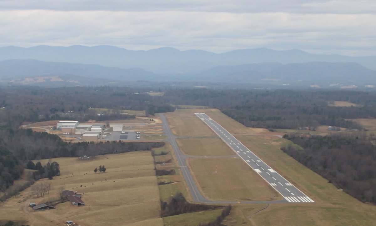
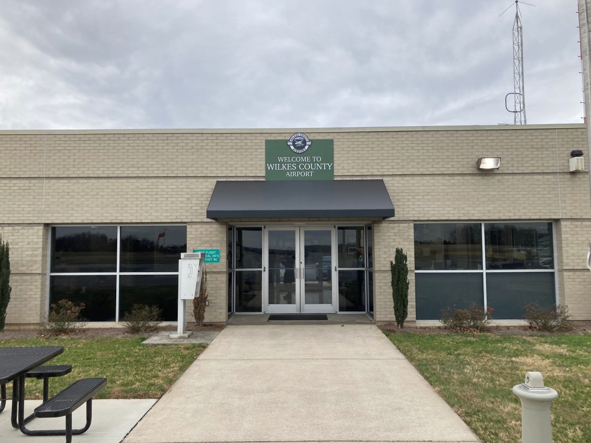
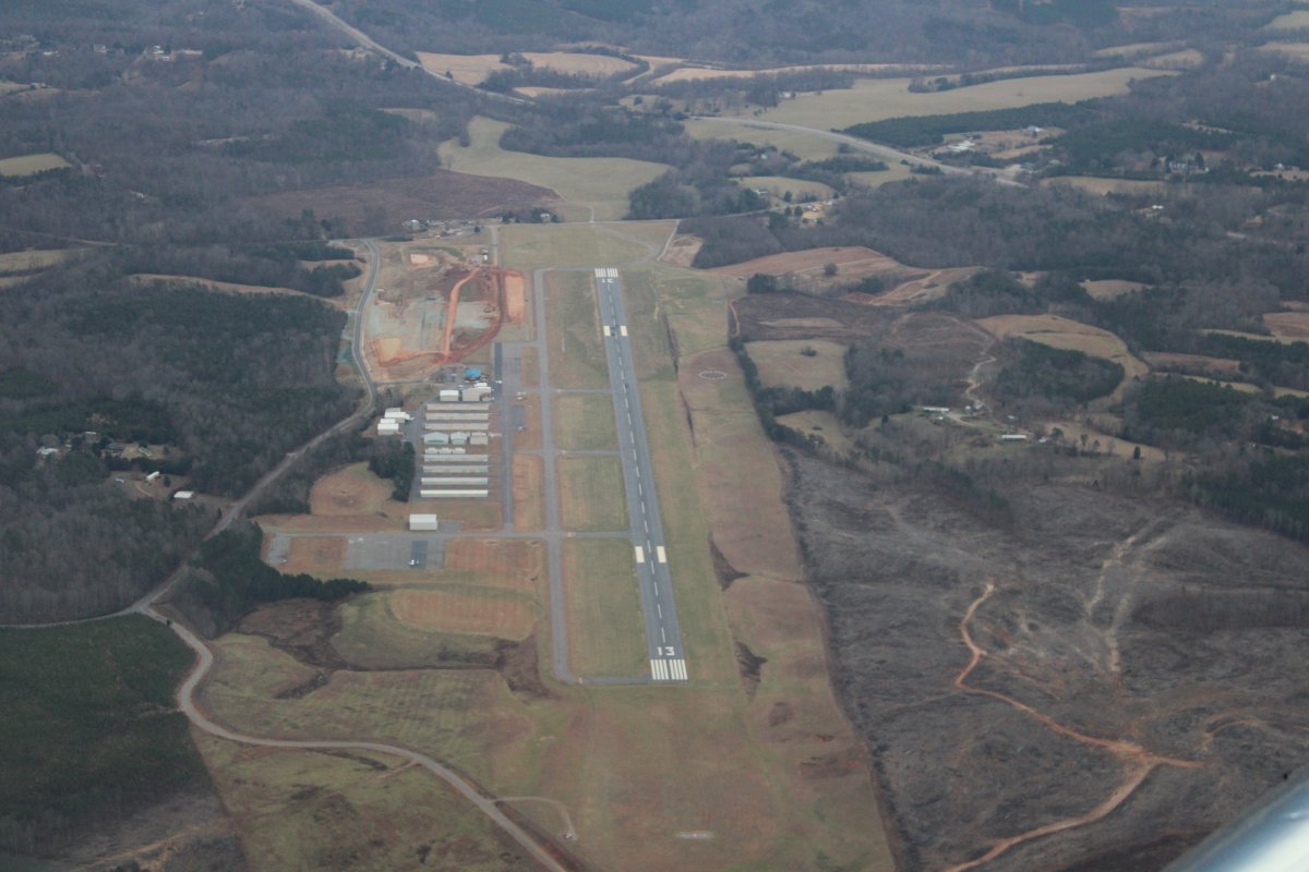
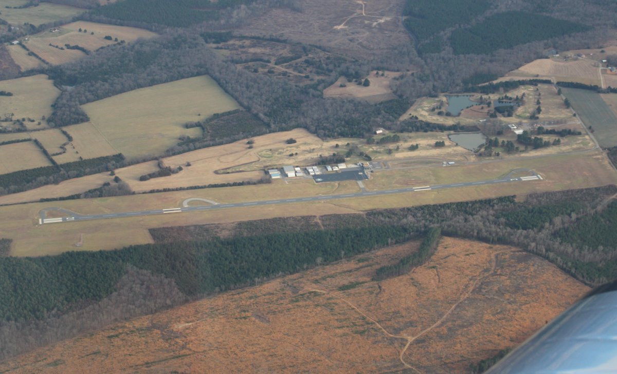
| Soon I came to Wilkes County Airport (KUKF) where I stopped by some avgas at an excellent price: $4.54/gal. Does that seem high? It's $5.30 at my home airport. |
| |
 |
|
|
They were just finishing up an airport Christmas party when I arrived. Nice, friendly airport.
Back at home, I was surprised to discover that I had been to this airport before. It was back in 2012, when I ferried down an RV-6A and brought back Bruce's RV-3. Link.
|
| |
 |
|
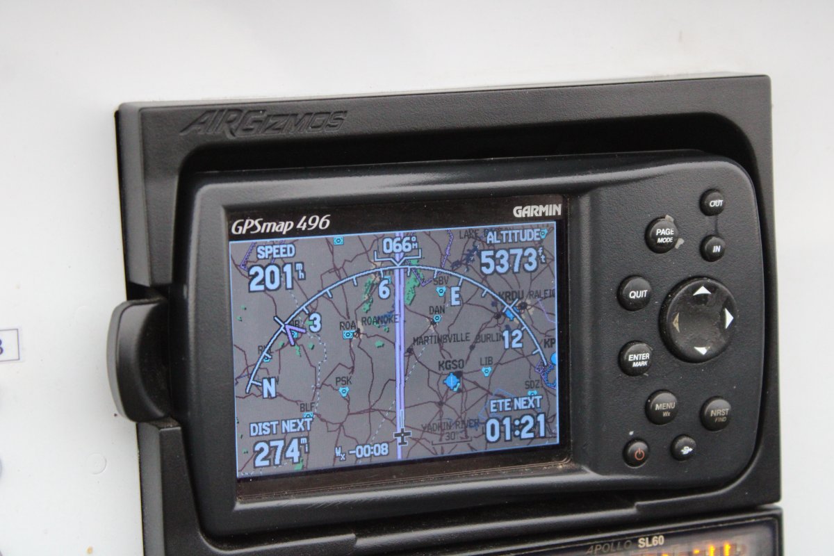
| Upon leaving Wilkes County, I turned northeast and climbed as high as I could to around 5,500 feet. Even though the weather wasn't the best, there was one positive that made up for all the others: a good tailwind. I made around 200 mph all the way home. |
| |
 |
|
|
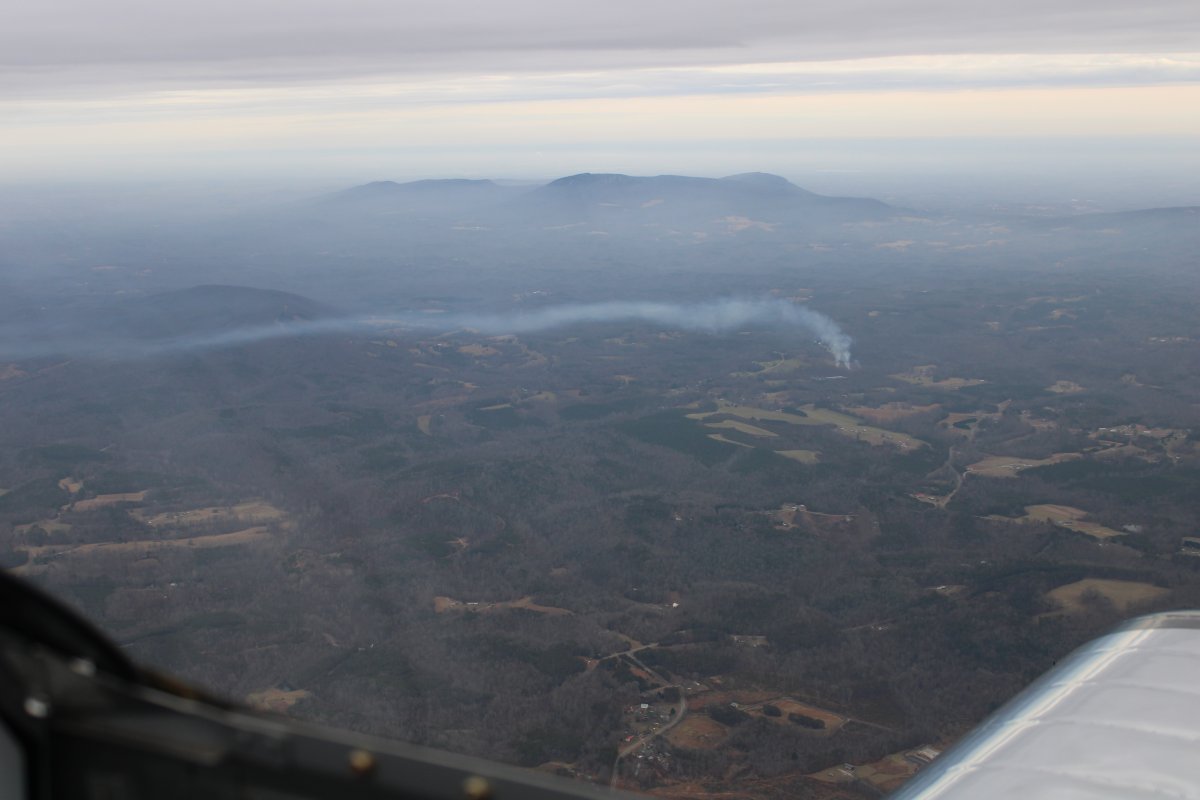
It's not too hard to see which way the wind blows with that smokestake down there.
|
| |
 |
|
|
Passing by Blue Ridge Aiport (KMTV). Like Wilkes County, this airport also has excellent fuel prices -- why does this area, southwest Virginia and northwest North Carolina have such low fuel prices? -- and the crown jewel: an airport restaurant! I'll have to stop someday.
|
| |
 |
|
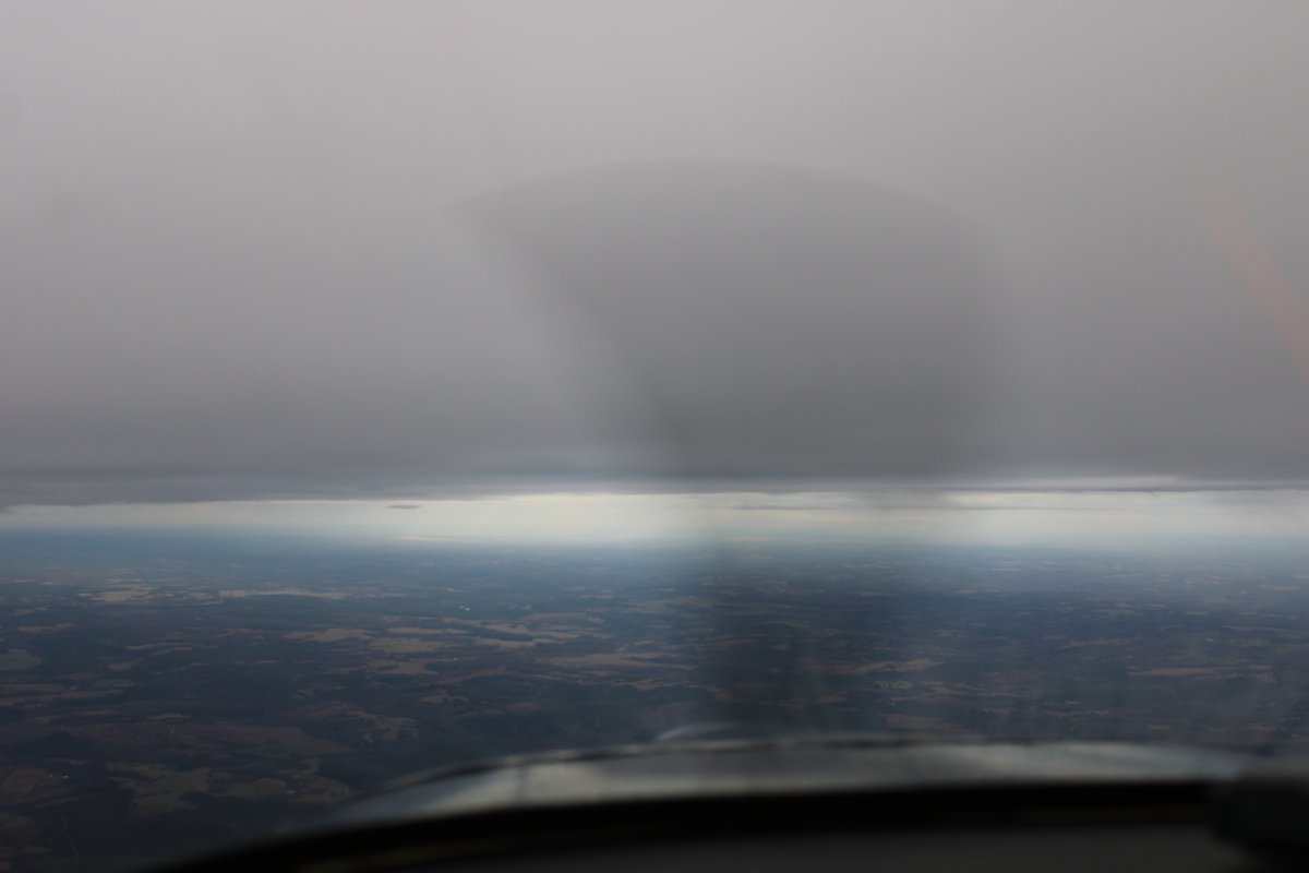
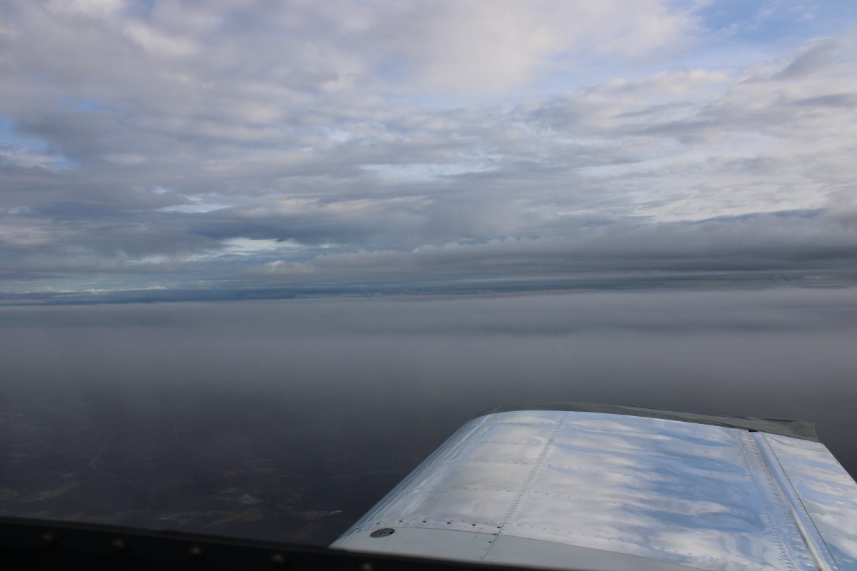
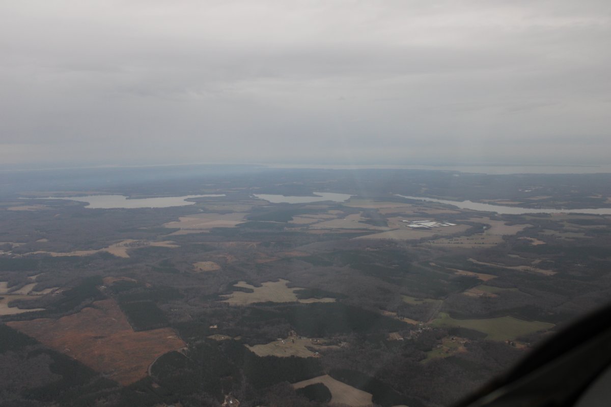
| From the forecasts this morning, I thought that once I got on the east side of the mountains the weather would be sunny and clear. It did get better at first, but instead of clearing completely, it worsened. I had to descend after awhile to stay under the ceiling. |
| |
 |
|
| |
| |
 |
|
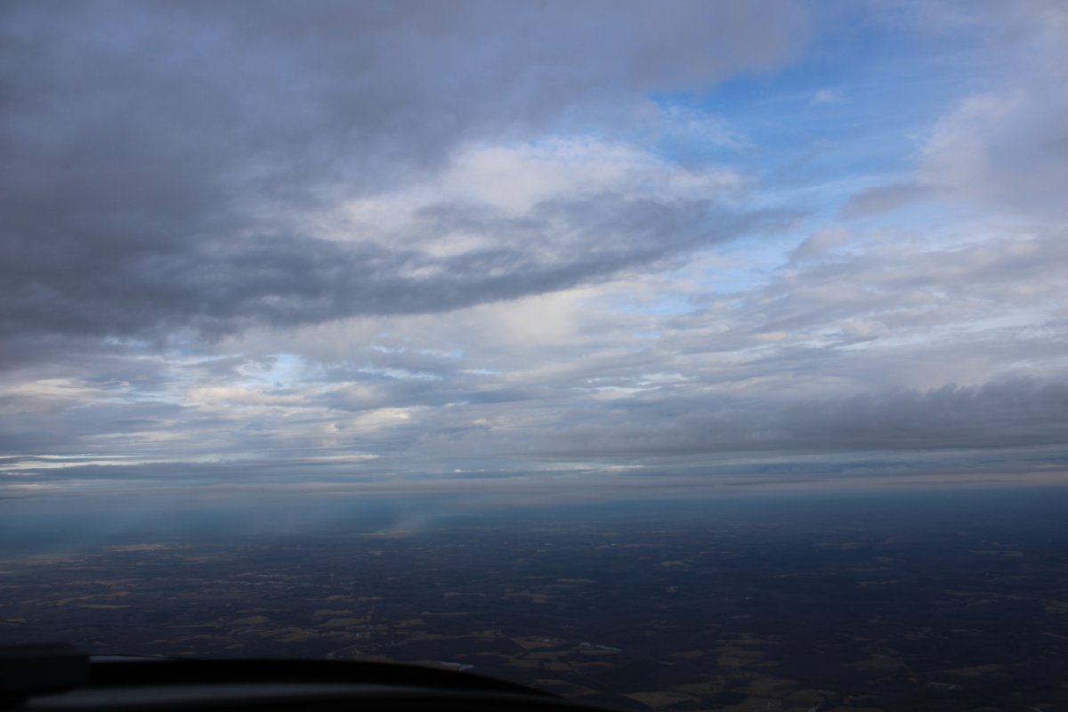
| Some areas were better than others. |
| |
 |
|
|
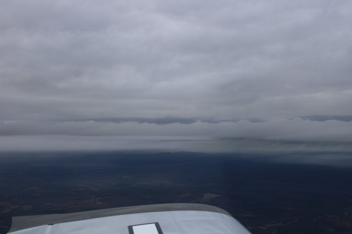
It was definately bad to the northwest.
|
| |
 |
|
| Descendig to stay under the clouds. |
| |
 |
|
|
Cruising by a whispy layer.
|
| |
 |
|
| Passing by Farmville Regional Airport (KFVX) in Virginia. I landed here once ten or so years ago. They used to have a restaurant at one time but it is long since closed. Not surprising since this airport is pretty remote. |
| |
 |
|
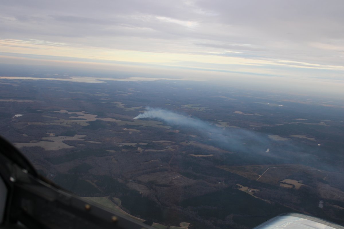
| Another smoke trail as I approach the Rappahannock River. |
| |
 |
|
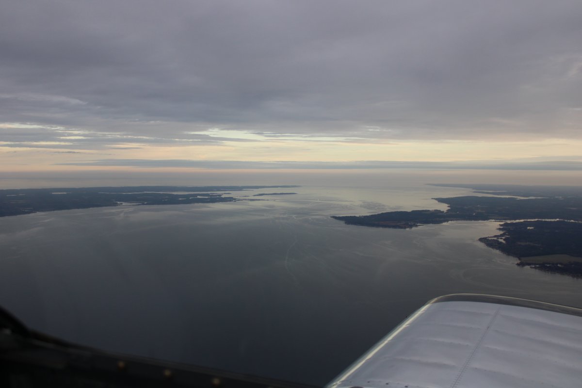
| Another look at the Rappahannock with the Potomac River visible in the distance. |
| |
 |
|
|
Crossing the wide Potomac River, looking southeast, in the late afternoon.
|
| |
 |
|
|
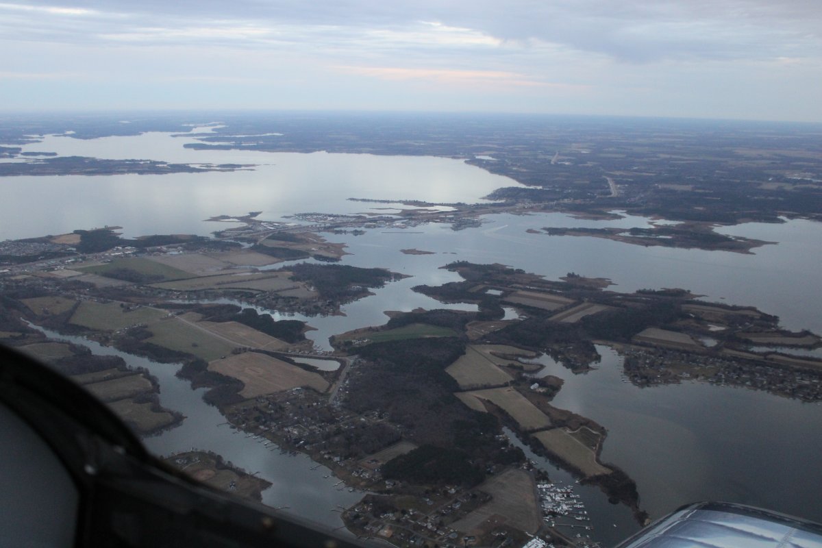
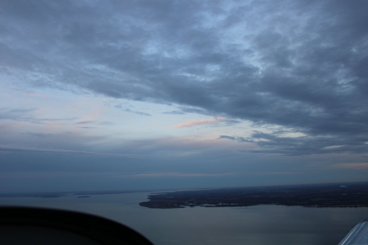
About to cross the Patuxent River, with the Chesapeake Bay in the background.
|
| |
 |
|
|
Looking east with the Kent Narrows Bridge at center.
|
| |
 |
|
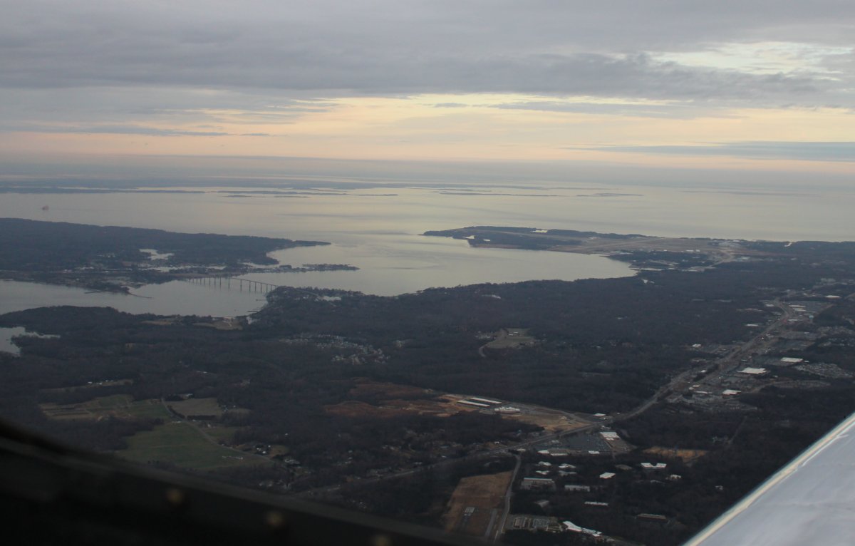
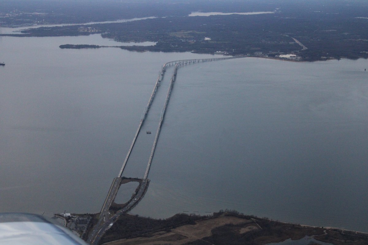
| Looking west and down at the Chesapeake Bay Bridge. |
| |
 |
|
| As I approached Essex Skypark, it was about 4:45 in the late afternoon. It gets dark at 5:00. Good thing I had that nice tailwind. |
| |
 |
|
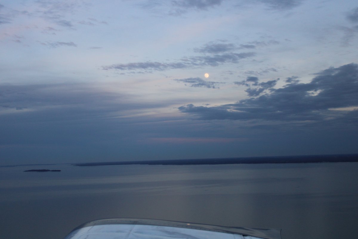
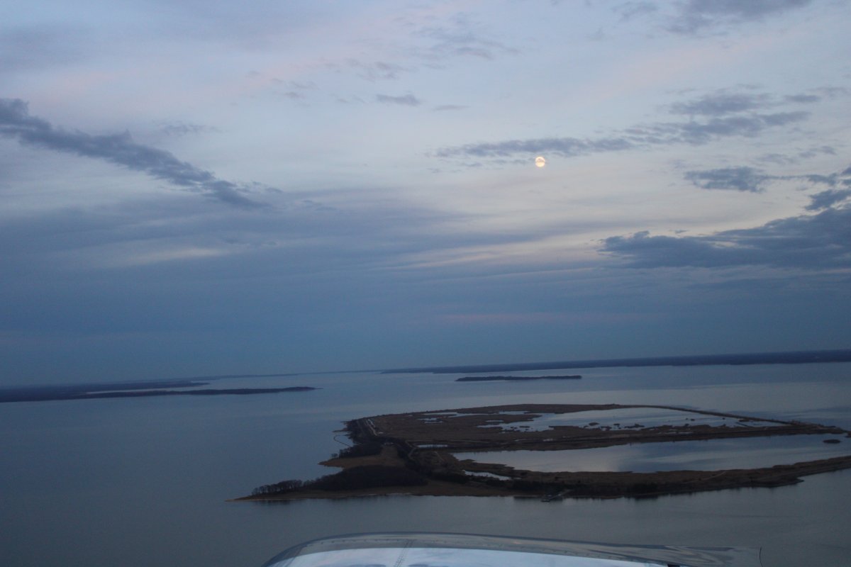
| Now this is a first: a picture of the moon taken from the plane. |
| |
 |
|
|
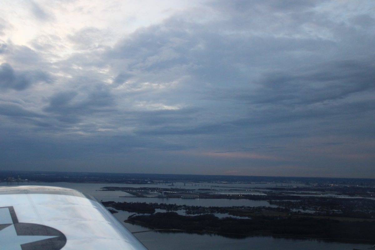
Looking at the Patapsco River and the Frances Key bridge.
|
| |
 |
|
| Another shot of the Moon. |
| |
 |
|
| |
| |
|
|
|
|
|
|